Stanhope Walk: Carrs Top (the Easy Way)
Length: 3.5 miles Ascent: 530 feet Time: 1 hour 45 minutes
Map: Explorer OL31 North Pennines
Start: Take the A689 from Stanhope towards Eastgate and at the outskirts of Stanhope turn left on the B6278 towards Middleton in Teesdale . After about 2 miles you reach a cattle grid with a small building on the left. 600 yards further on the road tops out before its descent to Bollihope quarry and parking/picnic areas. Just past the top there is rough parking for 3 or 4 cars on the left and opposite is an equally rough track where the walk starts.
Description: Although Carrs Top is close to Stanhope it is largely unknown and unloved because from the road it looks like just another grassy bump and because it has no footpath which passes nearby. Viewed from the Bollihope valley, however, it looks much more impressive with a rampart of stones protecting its summit. On this walk we attack its defenceless road facing flank to reach the trig point. This would make for an excellent late afternoon walk on a bright summer day.
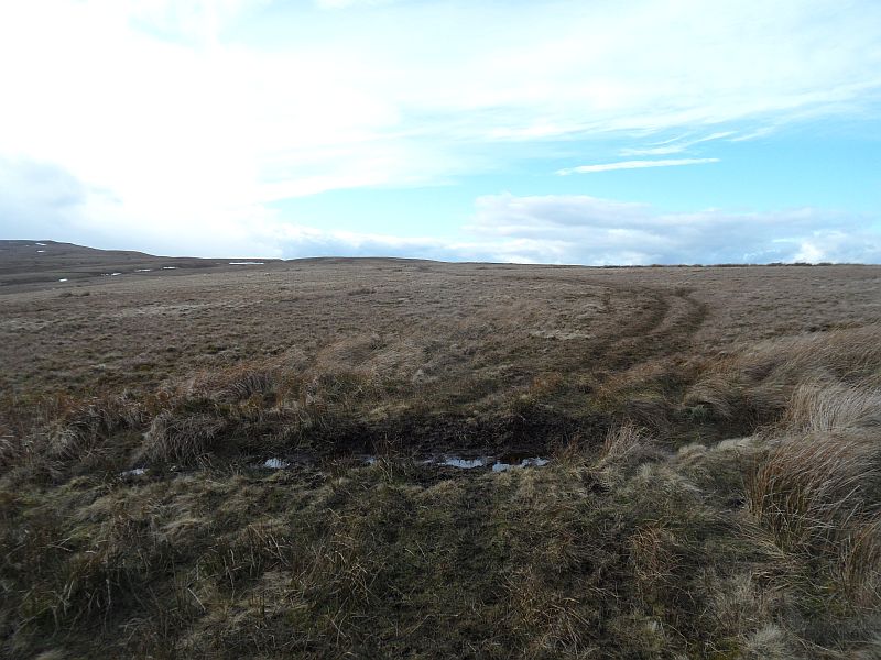
Directions: After half a mile of gentle climbing on the rough track it turns half left over a ditch and then rises more steeply. (The cairn which precedes the trig point on Carrs Top and was just about visible from the parking area is now quite obvious way over to your left). At the top of the rise the track resumes a more modest ascent and attractive views open up ahead. At a track junction turn left and now a valley opens up on your left and you are walking directly towards the cairn. At the head of this valley cross over the tiny stream feeding the valley to step on to a green track super highway which will whisk you up directly to the cairn. Ignore an apparently more direct track which leads off left further on. (If you miss the super highway choose another track towards the cairn). As the track turns right under the cairn, strike off left uphill to reach the cairn. The views from here are far more dramatic than from the trig point which is now visible 400 yards away on its flat grassy plateau. From the trig point turn southeast (ie directly away from the Weardale valley) for 300 yards, crossing a vigorous track, to inspect the Bollihope valley. Come back a little way and turn right on to the track which veers left as it approaches the cairn. In a short distance turn right on to a smaller track which soon joins the super highway. A mile further on cross the small stream at the head of its valley, which was met on the outward leg, and bear right. Then keep on the main path before turning right down towards your car. There is not much danger of getting lost as your car will be visible for much of the walk.
 [1]
[1]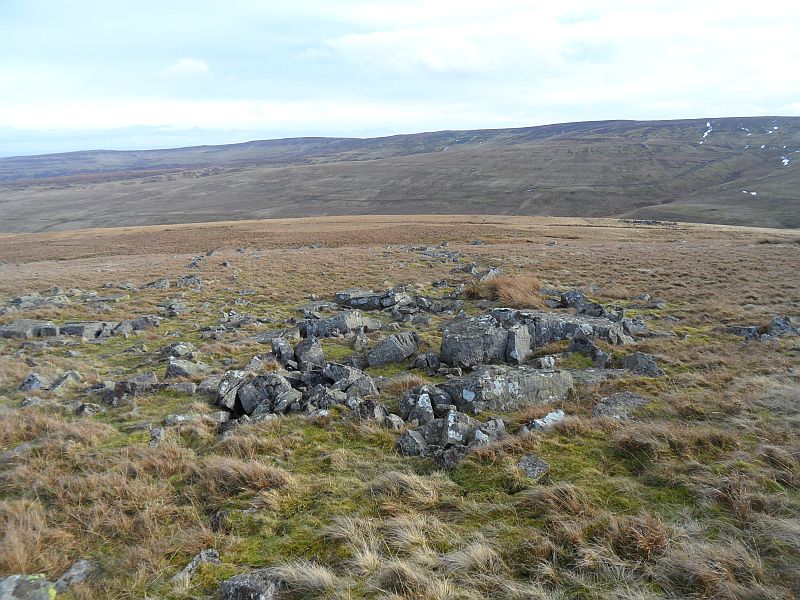 [2]
[2]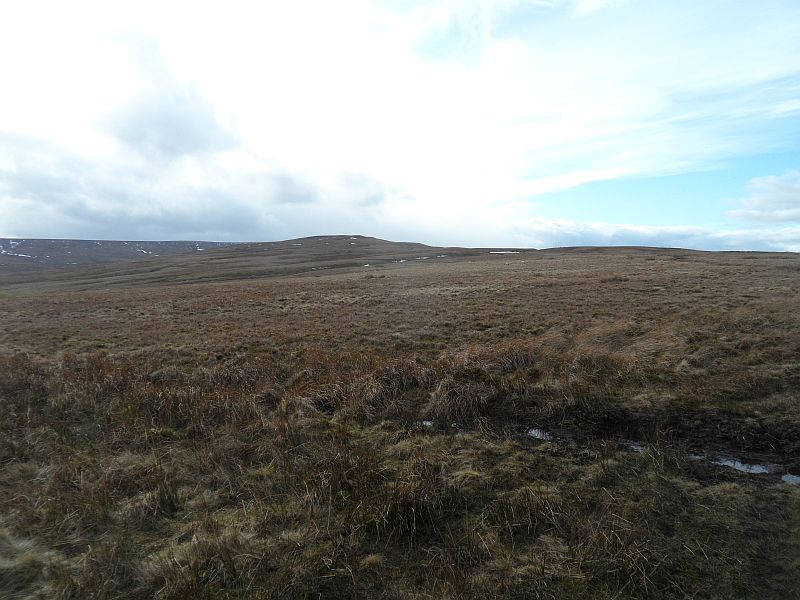 [3]
[3]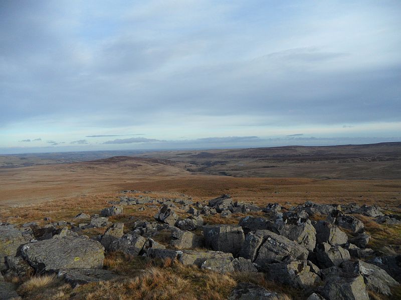 [4]
[4] [5]
[5]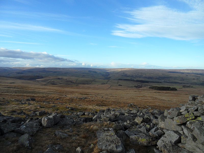 [6]
[6] [7]
[7]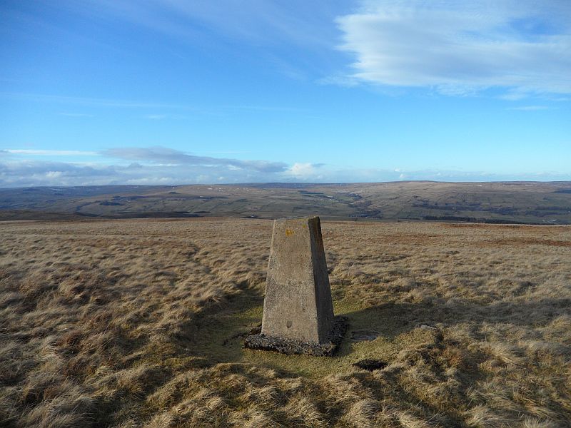 [8]
[8]