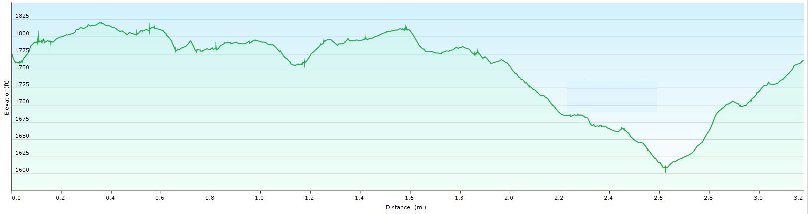
Distance: 3.2 miles Time: 2h Difficulty: Beginner Ascent: 335ft Max Elevation: 555m
This is a fine airy walk along a flat ridge, with glorious views throughout, totally at odds with the small amount of effort involved, like a walk from a cable car in the Alps, and potentially just as windy. At its best on a bright day with fast moving clouds. – Detailed description below.
Download Printable PDF file of the walk by clicking HERE
Click on the image for larger picture

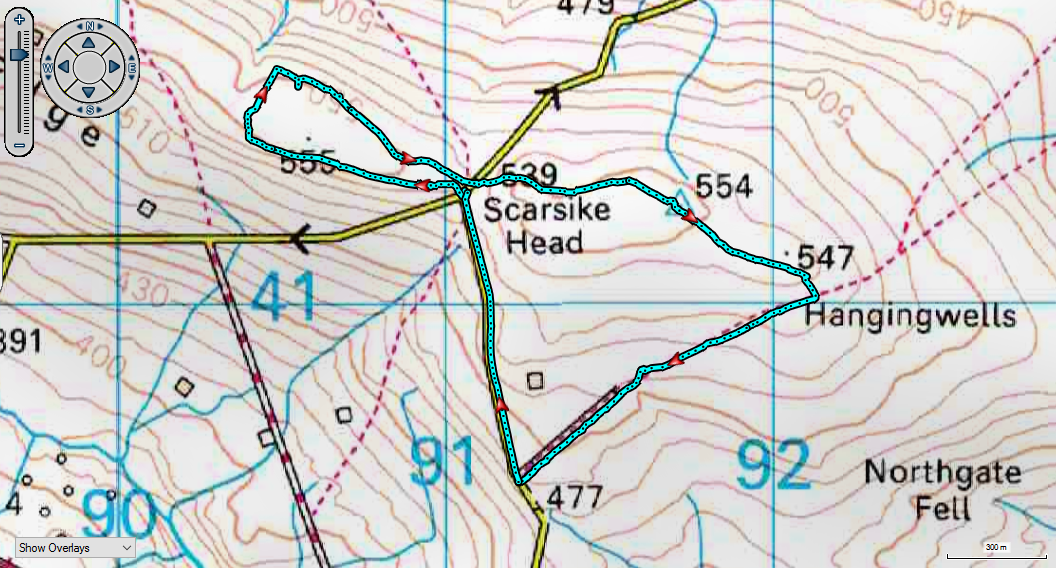
Start: Park by the side of the road at Scarsike Head, where the Rookhope to Ireshopeburn road turns left towards Westgate. GR NY911413.
(Note the Guide Post on the north side of the road, one metre west of the wall. The Historic England website says this post is “probably C18. Sandstone block about one metre high, 15 x 20 cm.; roughly squared. Well-shaped incised inscriptions on three faces: on west Wolf Cleugh/New House/and O.S. bench mark obliterating lower part. On south, Lintz/ Garth/l/Bay Bridge/5; on east illegible. In 1857 this inscription mentioned New House, Wear Head, Middlehope, Westgate, Chapel, Wolf Cleugh, Allenheads, Lintz Garth, Bay Bridge, Roke-hope (sic).”)
Directions:
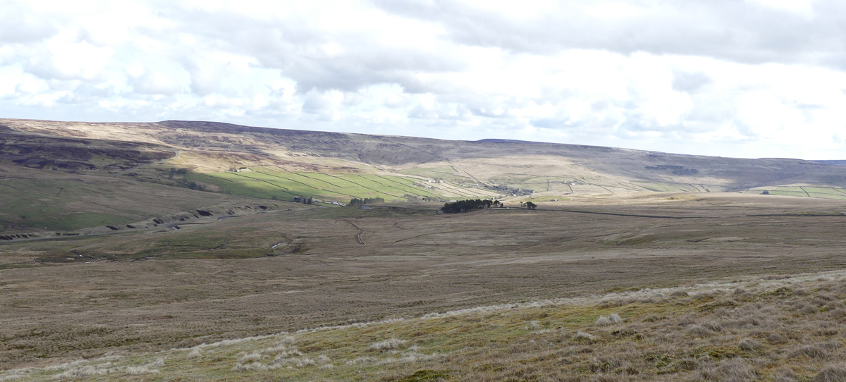
- From the footpath marker follow the farm track north between the converging wall on the left and the fence on the right. Pass through the gate and turn right along the wall, now through old workings. Continue left of a crumbled wall with sweeping views down to the Middlehope valley below. 200 yards before the cross wall ahead turn right for 150 yards across boggy ground to cross a wooden hurdle to the right of a wall corner.
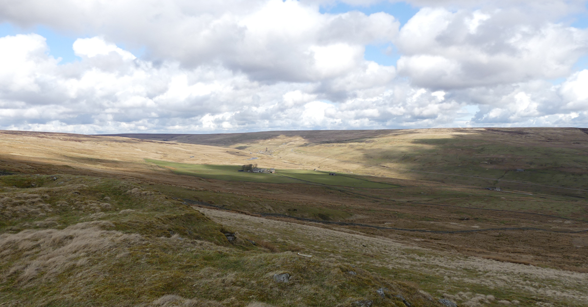
- Follow the wall down, now with views to the other side of the water shed, over the Rookhope valley, with Wolf Cleugh Farm and Grove Rake Mine prominent to the left.
- After 400 yards turn right when you reach the wall gate on the left and continue on a grassy track which passes left of more old workings, probably iron ore, and then left again of the attractive remains of Scarsike Quarry to regain the road at Scarsike Head by a gate.
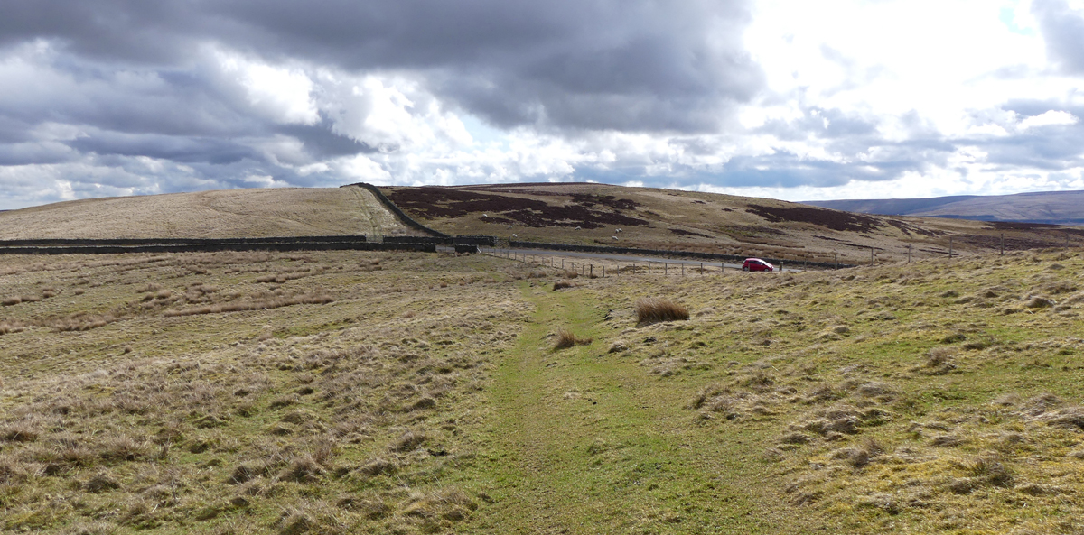
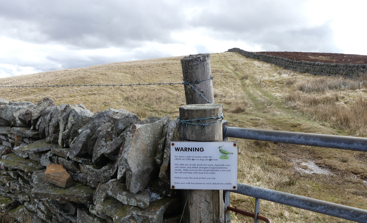
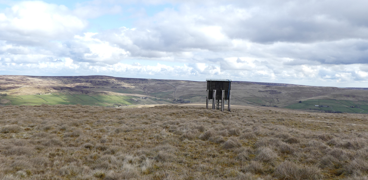
- Turn left on the road for 20 yards and then climb the gate on the right, which has a warning about cattle, and take the left track which winds its way up onto Windy Hill, after 800 yards reaching a wildlife observation tower and an oddly placed trig point hiding next to a wall.
- Climb the gate and turn right, following the wall down for 800 yards.
- Pass through the next gate at Greenmere Head then turn immediately through another gate to your right and continue with a fence on your left for 200 yards to a stile.
- Turn right downhill here along a narrow footpath which meanders down the fell past marker posts, some of which are still standing, to reach a wall corner after 800 yards.
- Continue in the same direction through sandstone pillars onto the farm track known as Red Road.
- At the bottom turn right along the road to the beginning or if you are allergic to roads there is a gate which enables you to yomp along sheep paths parallel to the road.
GPS:
 |
You can download the .GPX file of the walk for your GPS – (as a .zip file)
Please Click HERE to download
|
Images:
Click on the image for larger picture